Wednesday NJ weather: Rain exits, then a sunny and breezy afternoon
The Bottom Line
After a wet and windy overnight, rain will exit and sunshine will return Wednesday morning. We have some delightful fall weather ahead, with the calendar page ready to turn from September to October. However, this forecast is not quite completely dry.

Wednesday
Top rainfall totals across New Jersey from Tuesday through Wednesday morning have been 2+ inches in and around Camden County. Top wind gust (as of this writing) was 47 mph in Ocean County.
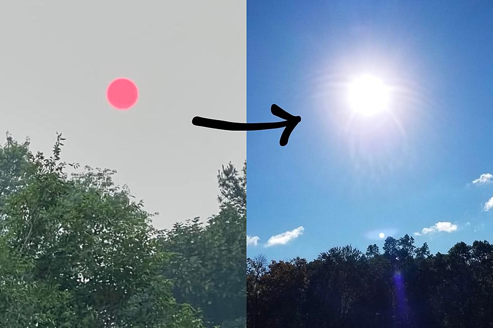
It's still going to be showery and foggy through mid-morning Wednesday. Radar trends and forecast models show New Jersey's final raindrops will fall around the 9 a.m. hour. And then, by 10 a.m., the sun will come out.
Meanwhile, it was incredibly steamy when I left the house at 2 a.m. Cooler, drier air is entrenching itself around New Jersey, zapping our humidity. Temperatures will temporarily dip into the 50s Wednesday morning, before recovering to the upper 60s to around 70 degrees Wednesday afternoon. (I can't call that our daily "high" temperature, since it was technically warmer just after Midnight.)
A sustained western breeze, occasionally gusting over 20 mph, will keep our newfound cool air moving around. Nice and refreshing.
One more thing to keep in mind, as it is autumn now. The overnight wind and heavy rain caused quite a bit of leaf fall. Be aware those wet leaves will be pretty slippery.
Wednesday night will be clear and comfortably cool, with lows in the mid 50s. The breeze will die down overnight — eventually.
Thursday
Looking good and feeling good for the first day of October. Mostly sunny skies and a light southwest breeze will push highs to about 70 to 75 degrees. Close to seasonal norms.
However, here comes our next storm system — a weak cold front. That will spark some showers Thursday night. And also drag temperatures even cooler as the weekend approaches.
Friday
Those aforementioned rain showers may linger through about lunchtime Friday, before sunshine breaks out once again. But it's definitely going to feel like fall, with highs only in the lower to mid 60s. (FYI, I've decided to keep my forecast below model guidance here.) Those temps are more typical of late October than early October.
Saturday
Mostly sunny and dry, cool and crisp. Highs in the mid to upper 60s. A beautiful autumn day. With such cool, bone-dry air, I wouldn't rule out early morning frosts in NW NJ this weekend.
Sunday
Skies will turn partly to mostly cloudy. And we'll still see below-normal temperatures, topping out in the lower to mid 60s. Nice enough during the day, but we are watching a chance of showers Sunday night.
The Extended Forecast
Unless a tropical storm or hurricane comes to visit, I do not see a return to heat or humidity any time soon. (And just to be clear, there's nothing on the horizon.)
It looks like we'll keep the pleasant, bright, comfortably cool fall weather going through early next week. Upper 60s on Monday. Lower 70s on Tuesday.
Dan Zarrow is Chief Meteorologist for Townsquare Media New Jersey. Follow him on Facebook or Twitter for the latest forecast and realtime weather updates.

More From 92.7 WOBM


