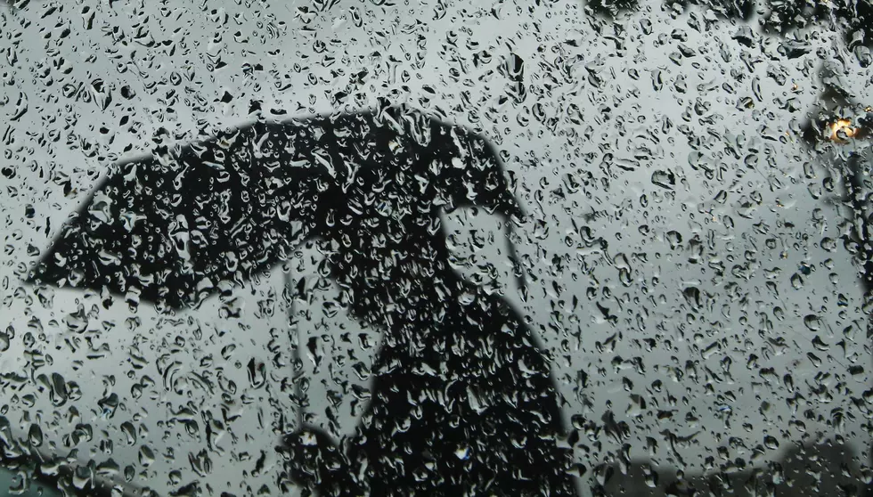
Wednesday NJ weather: A few rounds of showers and thunderstorms
The Bottom Line
Our weather takes a step backward Wednesday, as clouds and rain re-enter the forecast. The soggy, unsettled weather won't last long though, as we flip back to sunshine again by Thursday. Heat and humidity will build again for the upcoming weekend.

Wednesday
I think we're facing two or three rounds of scattered rain. Previously, I had suggested these showers and thunderstorms would be limited to southern New Jersey. But that's clearly not the case, as our first storm cell of the storm tracked through North Jersey. The day will not be a total washout. The only concern would be isolated thunderstorms putting out very heavy rainfall — on the order of an inch.
You'll find some breaks of sun along the way. (Let's call it partly to mostly cloudy.) High temperatures will end up a bit cooler than Tuesday, near 80 degrees.
Skies will clear Wednesday night, with a resurgence of not-humid air. You might feel a hint of coolness outside, with low temperatures ranging from the mid 50s (NW NJ and Pine Barrens) to lower 60s.
Thursday
Looks good! We flip back to mostly sunny, dry weather. High temperatures will hold steady, near 80. That is about 5 degrees below normal for mid-August.
Friday
Also a nice day, with highs climbing into the 80 to 85 degree range. Clouds may dominate the sky at times, and I do have to include a slight shower chance too.
Saturday
This weekend, dew points return to the 60s and temperatures increase to the 80s (at least). Under partly sunny skies, Saturday's high temperatures will reach the mid 80s — just a hair warmer than seasonal norms. On the edge of a storm system, I can't rule out a few late-day popup thunderstorms.
Sunday & Beyond
The second half of the weekend will be the hotter half, with a high near 90 degrees (away from the coast). It is still summertime, after all! We'll again call skies partly sunny, with a somewhat stronger westerly breeze. And again, I can't rule out a popup shower or storm.
Hotter than normal temperatures will continue for early next week, although we'll stay away from extreme heat and humidity and the "danger zone". A late week cold front will likely be our next weathermaker.
Finally, we are now watching a trio of tropical waves in the Atlantic. The middle one is the most interesting, and will almost certainly become a tropical storm in the next day. Models show it potentially reaching the U.S. East coast in about 9 or 10days — at the end of next week.
Dan Zarrow is Chief Meteorologist for Townsquare Media New Jersey. Follow him on Facebook or Twitter for the latest forecast and realtime weather updates.
More From 92.7 WOBM