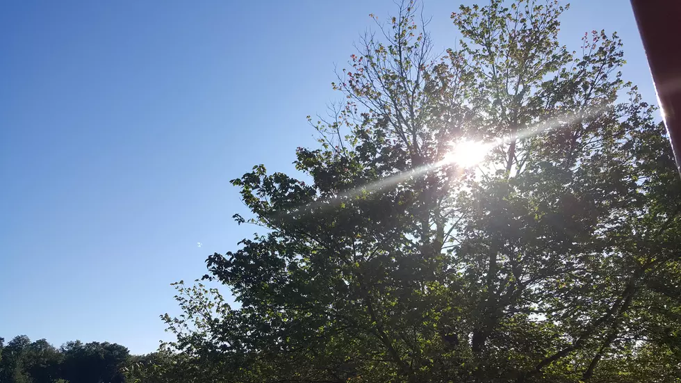
Tuesday NJ weather: This is what a ‘typical’ early October day looks like
The Bottom Line
In the last month, I count at least 20 days that were perfectly pleasant and delightfully dry. That general trend continues, although there are two prominent "heads-up" events in the forecast: Wind on Wednesday, and the chance for solid rain early next week.

Tuesday
As the headline of this post suggests, this is what a "typical" early October day looks like. (For the record, it's hard to say that, since autumn is such a tumultuous season with warmups and cooldowns and wind and storms.) 50 in the morning, 70 in the afternoon. Mostly sunny and dry, with just a light breeze.
Tuesday night will remain clear, calm, and cool. Lows will dip into the mid 50s.
Wednesday
Wednesday will be a cold front day. But that front — the leading edge of a cooler, drier air mass — will be moisture-starved. So while a few rain showers may creep into northern New Jersey during the daytime hours Wednesday, I suspect most of the state will stay completely dry. With a mix of sun and clouds, high temperatures will push into the mild mid 70s. (Some models are still promoting the idea of 80 degrees!)
However, wind will be a minor concern statewide. Wednesday will start breezy, with occasional gusts over 20 mph. And then as the front pushes through during the afternoon and early evening hours, a brief period of 40 mph wind gusts will be possible. I would take a few minutes to secure garbage cans and lightweight fall decorations before that "whoosh" of cool air arrives.
As the wind keeps the air stirred up Wednesday night, temperatures shouldn't tank too far. We'll probably see some 40s in the coolest spots, averaging 50 across the state. Frost seems unlikely.
Thursday
Definitely a cooler day, with highs returning to the mid 60s. But not terrible. It will be sunny and dry, with a continuing stiff breeze (out of the northwest at 10 to 20 mph).
Friday
More sunshine and seasonable upper 60s. Can't complain about that.
Saturday
Another warmup kicks in, with a little bump in humidity levels and cloud cover too. The daytime hours on Saturday look fine, with highs in the lower to mid 70s.
However, our next chance of rain will come into view starting Saturday evening.
The Extended Forecast
As of this writing Tuesday morning, Hurricane Delta is churning through the Caribbean Sea, just south of the Cayman Islands. The storm is expected to strengthen as it enters the Gulf of Mexico, aiming for landfalls near Cancun, Mexico on Wednesday and then the Louisiana coast on Friday.
The remnants of Delta are then expected to drift our way. That tropical moisture will likely spawn a period of wet weather between Saturday evening and Monday. Pockets of steady to heavy rain are possible, especially in the Sunday night to Monday morning time frame. Rainfall totals of an inch seem like the most likely outcome for the Garden State. At the moment, I'm fairly confident we're facing only a healthy dose of rain, and nothing excessive.
Dan Zarrow is Chief Meteorologist for Townsquare Media New Jersey. Follow him on Facebook or Twitter for the latest forecast and realtime weather updates.

More From 92.7 WOBM


