Tornado Watch for 16 NJ counties until 9 p.m. Thursday
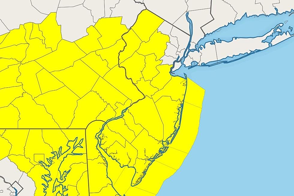
So far today, we've only seen light spotty thunderstorms with very localized downpours form across New Jersey. I'd call it "somewhat" stormy. Now, as the main block of thunderstorms approaches from the west, the National Weather Service has issued a Tornado Watch until 9 p.m. Thursday, covering 16 of New Jersey's 21 counties. The only excluded part of the state is the northeast corner (Bergen, Essex, Hudson, Passaic, and Union).
A watch is simply a formal heads-up that severe and/or tornadic thunderstorms are possible. Damaging 60 mph winds, quarter-size hail, and/or a tornado are all on the table for this evening's "main event" thunderstorms.
In addition, areas that experience stalled (stuck) or training (re-forming) thunderstorms could develop flooding issues.

Keep in mind, not every location in the watch area will necessarily experience a strong or severe thunderstorm. (At this point, I do expect everyone in New Jersey will at least get wet Thursday evening.)
Keep a close eye and ear on the changing weather conditions Thursday evening. If a warning is issued for your area, you should immediately take shelter in a sturdy building.
Eventually, a cold front will sweep out the storms Thursday night. Drier air and clearer skies will arrive after about Midnight.
Delightfully dry air will lead to a couple of crisp, beautiful days Friday and Saturday. Our next chance of rain will come sometime on Sunday.
Dan Zarrow is Chief Meteorologist for Townsquare Media New Jersey. Follow him on Facebook or Twitter for the latest forecast and realtime weather updates.
BEEP BEEP BEEP: These are the 13 types of Wireless Emergency Alerts auto-pushed to your phone
Inside Amazon: A Detailed History of America's Biggest Online Retailer
More From 92.7 WOBM


