Thursday NJ weather: Wet and gloomy, periods of rain all day
The Bottom Line
Most of New Jersey (outside of the northwest corner of the state) has not registered measurable snow since mid-March 2022. (For South Jersey, that streak extends back to February 2022.) It has been an unusual winter, an oddly mild and snow-free January. And yet again, a storm system passing through New Jersey on Thursday will be exclusively wet. Not wintry.
The timeline for this area of low pressure puts the steadiest rain over New Jersey during the afternoon and early evening hours Thursday. Rainfall totals will probably end up between a half-inch and an inch across the state. Healthy, not heavy. There's no risk of flooding, severe weather, or wintry weather.
Generally quiet weather resumes for Friday, Saturday, and daytime Sunday. And then our next storm system arrives late Sunday into early Monday. Once again, it's going to bring mainly plain rain to NJ. But in a subtle pattern change, some wintry mix could be involved.

Thursday
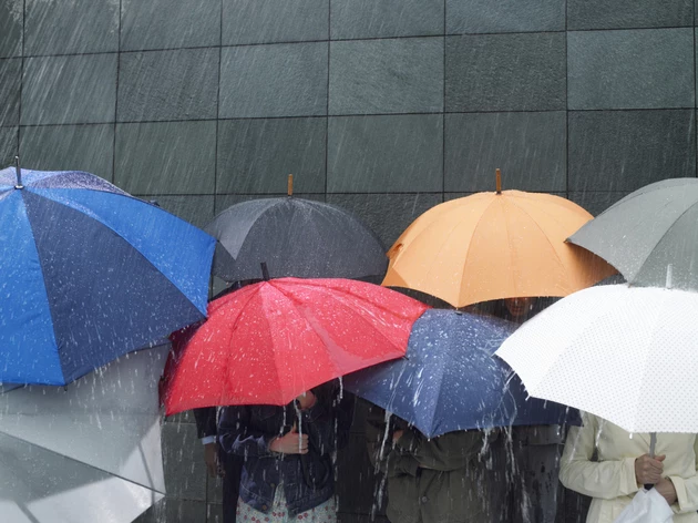
Wet and gloomy. While it may not rain persistently all day where you are, rain is definitely the story of the day.
As of this writing (6 a.m.), the first band of rain has progressed through the southern half of the state. Rain will continue to spread from southwest to northeast through Thursday morning. Initial rain will be light and scattered, on and off. Still enough to warrant an umbrella and windshield wipers. (Don't forget: Wipers on, lights on!)
Rainfall looks to get steadier into Thursday afternoon and early evening. There could be some pockets of heavy stuff, and even a rumble of thunder (especially to the south). But this is not a "super soaker" storm — it's going to be very difficult for an inch of rainfall to accumulate in any rain gauge.
Raindrops should start to break apart after sunset Thursday evening. I expect final raindrops to wrap up around Midnight, give or take. (Having said that, some model guidance keeps rain pockets over NJ through almost daybreak.)
Temperatures Thursday morning are between 30 and 43 degrees. Yes, there is a pocket of subfreezing air — but temps should moderate before precipitation really gets going, so I still do not expect any significant slippery spots.
High temperatures Thursday afternoon will range from the upper 30s in North Jersey to upper 40s in South Jersey. While winter weather advisories are posted over Pennsylvania, New Jersey stays wet.
Even Thursday night, thermometers will only fall to about 40 degrees (give or take). So I'm not concerned at all about a "flash freeze" or icy puddles Friday morning.
Friday
Some improvements, making for an OK day.
As one last piece of energy passes north of New Jersey, we could see some isolated showers creep into northern and central New Jersey at some point Friday. But that is not even close to an "all day" thing — Friday will be a much drier day than Thursday, for sure.
Skies will be brighter too, as we progress from mostly cloudy to partly sunny. It will be breezy, blowing out of the west up to 20+ mph. And temperatures will climb above-normal yet again, peaking in the upper 40s to around 50 Friday afternoon.
Saturday
We kick off the weekend with a cool, dry, dormant January day. I'm optimistically calling Saturday mostly sunny. Morning lows will flirt with the freezing mark. Afternoon highs will be limited to the lower 40s.
Sunday-Monday
Sunday will be a gray day, as skies turn cloudy pretty early on. High temperatures 45 to 50 degrees is pretty much par for the course lately.
We continue to closely watch the evolution of our next storm system, set to pass over New Jersey from late Sunday into early Monday. Just to put a finer point on it, the primary impacts of that system presently look to be from about 4 p.m. Sunday until 4 a.m. Monday, with lingering showers potentially through about 10 a.m. Monday.
Now let's talk about precipitation type. Once again, it's going to be rain, rain, rain for the vast majority of New Jersey. However, with a subtle pattern change underway, some colder air will leak into the northwest corner of the state. (Especially above ground-level, which is where snowflakes are born.) So I think we could see a quick shot or snow or wintry mix around Sussex and Warren counties, either at the beginning or end of this system's timeline. Accumulation and travel impacts seem minimal, but worth watching.
The Extended Forecast
Our next storm system — probably the last one in this streak of active weather — is modeled to arrive on Wednesday. Exact timing is hazy. Impacts look similar to Sunday night's storm — mainly rain, with limited mixing in NW NJ.
The end of January turns colder and quieter. Want snow? You need cold and active. Again, we will see what happens when we turn the calendar page to February.
Dan Zarrow is Chief Meteorologist for Townsquare Media New Jersey. Follow him on Facebook or Twitter for the latest forecast and realtime weather updates.
Don't say it: 6 words & phrases that should be banned in NJ
Controversial List of New Jersey's Worst Small Towns
More From 92.7 WOBM


