From wet to windy to warm: Active Friday, fairly quiet weekend
Good Friday morning! And to all the triskaidekaphobes out there, a very merry Friday the 13th.
Wet. Windy. Warm. A wide variety of weather conditions are heading for New Jersey over the next 12 hours. But the payoff is a quieter weekend — the last weekend of winter, by the way. (Not a perfect weekend forecast mind you, because of one little hiccup in the middle.)
—Wet... It's been misty and foggy overnight, with visibility in spots below a half-mile. As of this writing (5:30 a.m.) moderate to heavy rain is pushing into western New Jersey, right on schedule. The latest model guidance suggests a few changes to our soggy morning forecast. First, rainfall totals have come down — I think the wettest spots in the state will see between a half-inch and an inch of rainfall. (I had previously suggested widespread inch-plus totals.) That's because our impending band of rain is more narrow than I had anticipated. Therefore, it's not going to rain as long either. It's still going to be a soggy morning and a miserable morning commute. But given the latest forecast, I don't think flooding is a significant concern (outside of heavy downpours, of course). Steady rain looks to exit the Garden State by around 9-10 a.m. (perhaps with a lingering shower through midday).
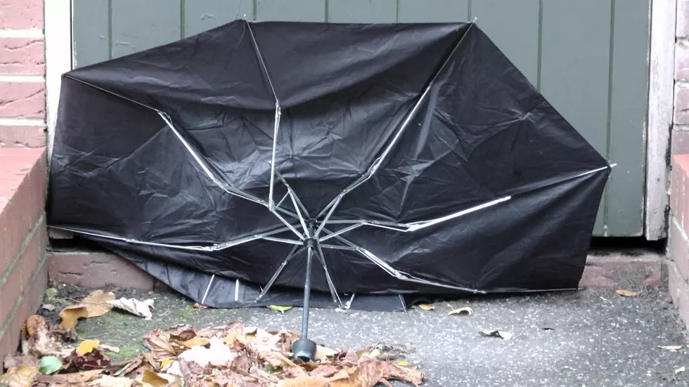
—Windy... In addition to the rain, we'll be watching the wind, potentially gusting between 30 and 40 mph throughout the day. That wind will blow from the southeast during the morning hours. Following a cold front passage, the wind will flip around to a westerly direction in the afternoon.
—Warm... With partial clearing around midday, thermometers will spike into the mid to upper 60s. (A few 70s may pop up in South Jersey.) That is 15 to 20 degrees above normal for mid-March. Record highs are not in jeopardy. (Newark's record high temp for this date was 86 degrees in 1990 — wow!)
Our weather starts to settle Friday night, as our new cooler, drier air mass takes hold. Skies will clear out. And low temperatures will dip into the chilly mid to upper 30s. (Far northern New Jersey could experience a light freeze overnight.)
Most of Saturday will feature plentiful sunshine, with just-above-normal high temps in the lower to mid 50s. Overall, a pleasant start to the weekend. Clouds will increase a bit in the afternoon.
And then, as a storm system passes south of New Jersey, a batch of rain and snow will impact New Jersey Saturday night. (No earlier than about 5 or 6 p.m.) Again, just some showers here — no deluges or accumulations. Best chance for this precipitation will be central and southern NJ.
On Sunday, skies will quickly flip back to sunshine. It will be the cooler day of the weekend, with highs in the upper 40s to around 50 degrees. It's going to be close, but Sunday could be New Jersey's second below-normal day of March — an indication of just how unseasonably warm its been lately.
Monday will get even cooler, with highs only in the mid to upper 40s. It will be breezy with increasing clouds.
Our next storm system rolls in Tuesday, with periods of light rain scattered throughout the day. Yup, just rain again, with high temps in the 50s.
After a week of crazy news and viral anxiety, I truly hope you have a peaceful, healthy weekend. I plan to get outside for a bit, bask in the sunshine, and take some deep breathes. Only 6 days until Spring!
More From 92.7 WOBM


