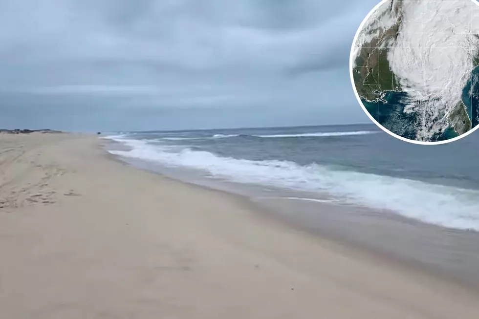
Former Hurricane Nicole’s rain and wind has reached NJ
Former Hurricane Nicole, now downgraded to a Tropical Depression, is still on track to impact New Jersey with heavy rain and gusty winds Friday afternoon, coming to an end by Saturday morning.
Rain that overspread the area Friday morning will get heavier in the afternoon and evening with gusty winds. New Jersey could get up to an inch of rain with more of a possibility north of the Route 95 corridor.
A Wind Advisory is in effect for the entire coastline from 11 p.m. Friday until 9 a.m. Saturday for winds gusting out of the south between 40 and 50 mph.
The New Jersey Office of Emergency Management is advising people to secure loose items such as outdoor furniture, children’s toys, trampolines, garbage cans, and lawn decorations by tying them down or bringing them indoors.
Ocean County Sheriff Michael Mastronardy, who also heads the county's Office of Emergency Management, said he and his staff are monitoring the storm and is ready to respond to any issues.
PSE&G and JCP&L said they are both prepared for any outages resulting from the storm.
Here's a timeline of the impact on the Garden State.
Friday afternoon
- Rain becomes moderate to heavy at times in the afternoon. The heaviest rain will fall northwest of the Route 95 corridor
- Localized flooding in areas of poor drainage is possible, especially in light of all the leaves and debris that may be blocking storm drains.
Friday evening
- Rainfall rates could decrease for a time late in the afternoon and evening.
- An approaching cold front could bring heavier rain late Friday night into Saturday morning
- Winds could gust up to 50 mph, especially along the coast
- Thunderstorms could develop with locally heavy rain and damaging winds as humidity increases
- Isolated tornadoes are possible
Saturday morning
- Rain comes to an end during the morning
- Total rainfall: a half-inch to an inch south of the Route 95 corridor. 1-2 inches to the north
- Winds gusting to 35 mph in the morning
- Sunny skies return with temperatures in the 60s.
The storm itself will track through central Pennsylvania north into New York state, veering to the northeast and reaching northern Vermont by Saturday morning at sunrise. The remnants of Nicole will track east through New Hampshire and Maine and reach Nova Scotia by Saturday night.
New Jersey 101.5 Chief Meteorologist Dan Zarrow is on vacation this week but is keeping an eye on Nicole between rides. He returns Monday, November 14.
Dan Alexander is a reporter for New Jersey 101.5. You can reach him at dan.alexander@townsquaremedia.com
Click here to contact an editor about feedback or a correction for this story.
25 costliest hurricanes of all time
LOOK: The most expensive weather and climate disasters in recent decades
Gallery Credit: KATELYN LEBOFF
NJ Residents Captured The Spectacular Fall Foliage
Gallery Credit: Dennis Malloy
More From 92.7 WOBM


