
A great forecast for Tuesday daytime – but watch out for brief evening storms
I've got a bit of a ping-pong forecast for you. Most of Tuesday looks great, before some rain passes across the state. Wednesday and Thursday turn cooler and greyer, before a warmup carries us into the Mother's Day Weekend.

If you liked Monday's weather, you might like Tuesday's even more. We'll enjoy a mix of sun and clouds throughout the daytime hours, with most high temperatures reaching the mid 70s. The Jersey Shore will be cooler, thanks to the sea breeze, with thermometers stuck in the 60s (at best). Meanwhile, the southwest corner of the state might make a run for 80 degrees.
Again, the daytime looks great. But the later in the day we get, the higher the chance for some rain.
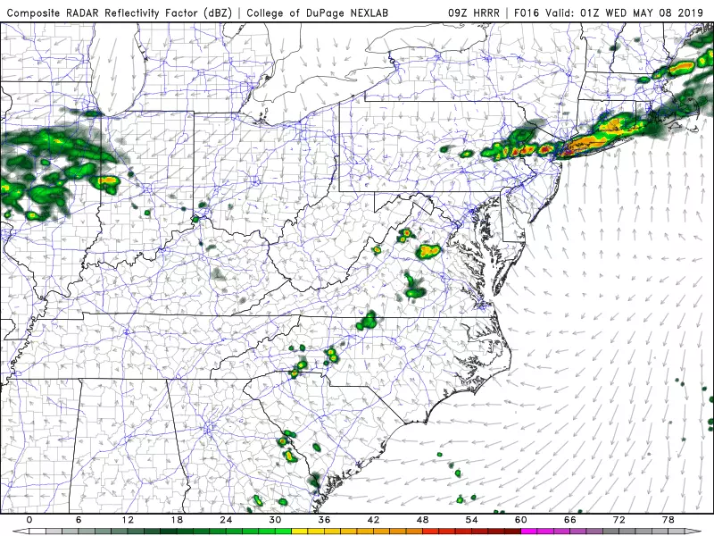
An approaching cold front is expected to fire off a line of showers and thunderstorms, entering NW NJ no earlier than about 4 p.m. Tuesday. There may be some localized downpours, noisy thunder, and frequent lightning, but the severe weather threat (wind, hail, tornado) looks low. Timing is everything with this system. While northern and western New Jersey briefly get soaked during the evening commute, storms will pulse down quickly past sunset (8:00 p.m.). That means the rain may fizzle completely by the time it reaches the coast.
In any case, our air and atmosphere will dry out through the rest of Tuesday night. Low temperatures should end up in the mid 50s by Wednesday morning.
As that frontal boundary stalls just south of New Jersey, skies will remain mostly cloudy for Wednesday. Probably a dry weather day. Definitely cooler, with highs only in the mid to upper 60s.
Thursday does not look incredibly pleasant, with grey skies, a few sprinkles, and a stiff on-shore breeze. High temperatures will be stuck well below normal, in the lower to mid 60s.
The meteorological ping-pong ball gets hit the other way on Friday, as temperatures once again warm into the 70s. However, we'll see a chance for rain develop on Friday too. I do not think it's going to be a total washout of a day, but everyone in New Jersey is prone to get wet at some point.
As for the weekend, Saturday looks dry, mild, and pleasant but Sunday does not. It looks like rain will move in at some point for your Mother's Day — GFS currently says late afternoon, but the Euro model shows a pretty wet day. It's still early — we'll work out those details through the rest of the week.
Dan Zarrow is Chief Meteorologist for Townsquare Media New Jersey. Follow him on Facebook or Twitter for the latest forecast and realtime weather updates.
More From 92.7 WOBM


