Wednesday NJ weather: Sunny, warm, and dry. Wow.
The Bottom Line
I really want to call this a summerlike day. But there’s one big thing missing. Humidity.
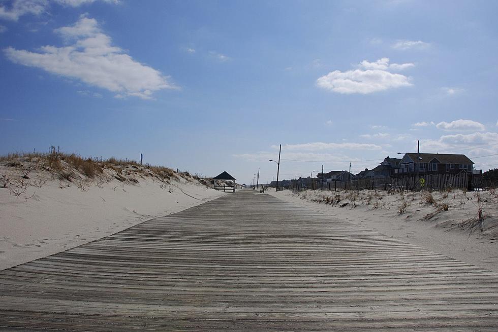
I really want to call it a beach day. But the ocean is still pretty cool here in May, with water temperatures around 60.
Finally, we could really use some rain right about now, given our high fire danger and spiraling drought concerns. Yes, our weather will turn more unsettled this weekend, with several waves of showers in the forecast. But it won’t be the thorough soaking we really need.

Wednesday
It’s going to be very warm. Even hot in direct sun. But the lack of sticky, steamy, stifling humidity will make it feel more like “Arizona” than “Florida” heat.
We’re enjoying a comfortable start to the day, with temperatures in the 50s (inland) and 60s (coast).
High temps will aim for the mid 80s today. Even mainland beaches will probably hit 80. That is 10+ degrees above normal for mid-May. But don’t worry, Wednesday’s record high temperatures will be safe (98 at Newark, 96 at Trenton, 96 at Atlantic City).
Could we hit 90? I wouldn’t rule it out, especially given how dry the air is. (Dry air warms up very quickly, compared to humid air.)
Skies will be bright and sunny, and there is a zero chance of rain. A light breeze will keep the warm air moving around nicely.
Wednesday evening looks fantastic. Comfy and refreshing. Overnight lows will dip into the 50s for most of the state, with a few clouds overhead.
Thursday
Still warm, for the most part. As winds become southeasterly, the Jersey Shore (east of the Parkway) will be the cool spot. At the beaches, highs won’t reach past the 70s. Farther inland, it will be another 80-degree day.
The daytime hours will be partly sunny and pleasant. We had previously predicted a wave of showers arriving Thursday evening. The latest model guidances shows that wave to be a fizzle - I expect only a few showers late-day Thursday, at the most.
Friday
Here’s where the forecast goes off the rails. I feel uncomfortably uncertain about how things are going to play out. That’s mainly because forecast models have been flip-flopping between warm and cold. And even just looking at this morning’s model suite,, there are dramatic differences in temperatures, cloud cover, and (to an extent) precipitation through the weekend.
The issue is whether a backdoor cold front comes into play on Friday. It is so named because the boundary moves into New Jersey from east to west, rather than the traditional west to east motion of the atmosphere here in the mid-latitudes. The introduction of marine air can lead to cloudy, cool, unsettled weather.
The latest consensus seems to be that the backdoor cold front effects will not be as extreme as previously thought. (For Friday, at least.) Therefore, I’ve warmed high temperatures into the 70s on Friday. Skies will be mostly cloudy. And we could see some showers in the Friday evening timeframe.
The Weekend
First of all, it’s going to get noticeably more humid this weekend, as dew points ramp up into the 60s. That will contribute to more unsettled weather and occasional showers.
At the moment, I think Saturday will be the worse day of the weekend. Scattered rain showers will be possible through Saturday morning. Then skies remain mostly cloudy in the afternoon. High temperatures will probably end up around the 70 degree mark.
Sunday should be the nicer weekend day, especially if temperatures spike back to 80 degrees. Partial sunshine looks good for most of the day, before another batch of showers late Sunday.
Even with all the mentions of raindrops here, they really won’t add up to much. Total rainfall over the next 7 days will probably only be about a quarter-inch. That’s not nearly enough to make up for our recent rainfall deficit and ease drought concerns.
The Extended Forecast
Again, given all the unknowns about the weekend forecast, I don’t want to dig too deeply into the long-range forecast. I am well aware Memorial Day Weekend is now only 10 days away too. Clearly too early for any definitive details. But I can say that there are no big storm systems looming on the horizon. And temperatures will generally hover at or above normal through the rest of May.
Dan Zarrow is Chief Meteorologist for Townsquare Media New Jersey. Follow him on Facebook or Twitter for the latest forecast and realtime weather updates.
When Ocean and Monmouth County Police saved the day
More From 92.7 WOBM


