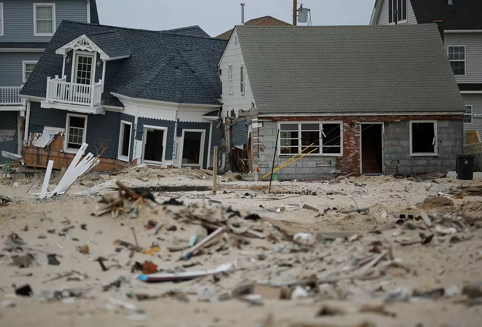
FEMA Flood Map Open Houses Bring Clarity to Ocean County
Some happiness, some disappointment but most of all clarity, is what the nearly 150 people who attended the Federal Emergency Management Agency's (FEMA) Open House felt after reviewing their preliminary Flood Hazard Maps at the Ocean County Administration Building's Cafeteria last night. Officials from FEMA, Ocean County, the State Department of Environmental Protection (NJDEP) and local officials were on hand to answer questions about about area flood risk.
According to Seaside Park Borough Councilman Dave Nicola, his borough's flood risk has only improved in this most recent update. However, Nicola said he was surprised that Point Pleasant Beach continues to take a hit when it comes to its estimated flood risk.
"Basically from the beach to the railroad tracks (of Point Pleasant Beach), you either stayed the same flood zone you had almost a year ago or you might have gotten a little worst. That's disappointing news, you know, compared with Seaside Park that dramatically improved," said Nicola.
Brick Mayor John Ducey said they were successful in appealing the number of "V" zones (properties at highest risk of flooding) in town and were able to get almost 50 properties removed from the "V" zones.
Something New in Brick
Ducey said he and the Borough Engineer came to answer questions about how the revised Preliminary Flood Hazard Maps would affect them. Ducey said many residents wanted to know how long the permitting process takes. He also wanted to explain recent changes in the building department where each individual permit now has a singular point person. He said that point person proactively calls the applicant to let them know where they are in the process.
So how does FEMA create maps that accurately determine a town's flood risk?
Paul Weberg, the Senior Engineer with the FEMA New York office said the first thing they do for the entire coast of New Jersey is to update its topography. He said they also consider the types of storms New Jersey gets by looking at the historic data over the last 150 years. But Weberg said they did not include Superstorm Sandy's impact in this data. He said if Superstorm Sandy was included, the flood risk for a lot of areas would be about a foot higher.
"In other words, we want to give the best and most accurate maps that the people can use for mitigation purposes," said Weberg. In so doing, he said they're open to considering data from borough engineers.
A Brick resident who lives close to Mantoloking Bridge that was breached during the Superstorm and lives in a community at minimal risk of severe flooding, said he felt the open was house was very helpful after speaking with FEMA and borough officials who attended.
"They (FEMA) gave us the basics in terms of what the flood maps and our insurance and our elevation certificate were telling us and then the Mayor and the Chief Engineer from the town of Brick sort of gave us what that all meant, so it was very helpful," according to the Brick resident.
A engineer from Brick said the open house helped to provided clarity to some sketchy areas.
"Well, just so we can know what the elevations are, how it affects your insurance and whether houses need to be raised, how high they need to be raised and what's the criteria to raising them," according to the builder.
There's going to be a second open in house at the Southern end of the County today, Thursday, February 26 at the Ocean County Southern Service Center, 179 South Main Street, Manahawkin from 4 p.m. to 8 p.m.
The Preliminary FEMA Flood Hazard Maps are expected to be finalized in 2016.
More From 92.7 WOBM


