Severe Thunderstorms End Heat Wave
Strong thunderstorms this afternoon and eventing rumbled through New Jersey putting an end to the latest heat wave and bringing down power lines & trees
The National Weather Service has issued a Severe Thunderstorm Watch for all of New Jersey until 9PM Wednesday night as a cold front will approach from the northwest during the afternoon.
A solid line of intense storms is crossing New Jersey with strong winds, heavy rain and hail.
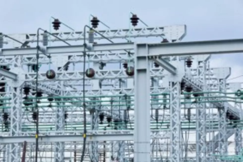
AT 8:30 PM, 10,958 JCP+L customers are without power with Sussex, Middlesex, Monmouth, Morris & Warren counties with the most outages.
Essex, Hudson & Passaic County has the most outages in the PSE+G service area thanks to a car crash while Atlantic City Electric’s outage map shows over 6700 customers without power in Atlantic County.
The watch means that strong to severe thunderstorms with heavy rain, damaging wind and hail are possible in the afternoon and evening. Flash flooding is also possible with frequent cloud-to-ground lightning.
Mercer, Camden, Gloucester, Cumberland, Salem and parts of Burlington counties are under an excessive heat warning issued by the National Weather Service when temperatures will be in the upper 90s with a heat index of 105.


LIGHTNING SAFETY
Source: National Weather Service
There is no safe place outside when thunderstorms are in the area. If you hear thunder, you are likely within striking distance of the storm. Just remember, When Thunder Roars, Go Indoors! Too many people wait far too long to get to a safe place when thunderstorms approach. Unfortunately, these delayed actions lead to many of the lightning deaths and injuries in the U.S.
The best way to protect yourself from lightning is to avoid the threat. You simply don’t want to be caught outside in a storm. Have a lightning safety plan, and cancel or postpone activities early if thunderstorms are expected. Monitor weather conditions and get to a safe place before the weather becomes threatening. Substantial buildings and hard-topped vehicles are safe options. Rain shelters, small sheds, and open vehicles are not safe.
A safe shelter from lightning is either a substantial building or a enclosed metal vehicle. A safe building is one that is fully enclosed with a roof, walls and floor, and has plumbing or wiring. Examples include a home, school, church, hotel, office building or shopping center. Once inside, stay away from showers, sinks, bath tubs, and electronic equipment such as stoves, radios, corded telephones and computers.
Unsafe buildings include car ports, open garages, covered patios, picnic shelters, beach pavilions, golf shelters, tents of any kinds, baseball dugouts, sheds and greenhouses. A safe vehicle is any fully enclosed metal-topped vehicle such as a hard-topped car, minivan, bus, truck, etc. While inside a safe vehicle, do not use electronic devices such as radio communications during a thunderstorm. If you drive into a thunderstorm, slow down and use extra caution. If possible, pull off the road into a safe area. Do not leave the vehicle during a thunderstorm. Unsafe vehicles include golf carts, convertibles, motorcycles, or any open cab vehicle.
Lightning Victims
If someone is struck by lightning, they may need immediate medical attention. Lightning victims do not carry an electrical charge and are safe to touch. Call 911 and monitor the victim. Start CPR or use an Automated External Defibrillator if needed. The National Weather Service contributed to this story. // ]]>
More From 92.7 WOBM


![Haunted Asbury Park – Ocean Co Paranormal on the Road [Audio, Video]](http://townsquare.media/site/394/files/2012/07/092-1.jpg?w=980&q=75)