‘Hoodie Weather’ For Your Saturday; Still Watching Hurricane Matthew for Possible Effects on the East Coast
WOBM Meteorologist Dan Zarrow says we still have cautiously watch Hurricane Matthew. The storm, which has exploded in strength, is barreling through the Caribbean right now. In the mean time, Dan calls Saturday a perfect day for "hoodie weather."
Meteorologist Dan Zarrow wrote on Facebook this morning that we can expect a damp and misty Saturday, but radar shows no rain falling over New Jersey. The good news? A few peaks of sun are possible tomorrow afternoon across the state.
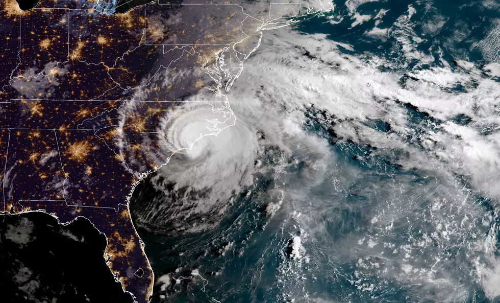
Unfortunately, we still have keep a watchful eye on Major Hurricane Matthew. Dan says the weather computer models haven't settled anything close to a definitive solution at this point. Dan does caution that the threat of Matthew remains a possibility, but it is not time to panic.
"Models have trended back toward the east coast this morning, with a slower approach - the storm would potentially be near NJ Friday-Saturday next week," Dan wrote on Saturday morning.
The timing of the storm has definitely changed. The latest forecast track (2pm on Saturday, October 1) from the National Hurricane Center shows the storm could still be more than 1,000 miles away on Thursday morning as it is anticipated to be near the Bahamas at that time.
Dan noted yesterday that the storm was already surprising computer models by becoming a stronger storm than originally predicted by the computer models. So that definitely means the storm's exact track cannot be determined just yet. "NO man or machine has a confident grasp of Matthew's forecast track at this time," he said on Friday.
Keep it locked here for the latest as Dan says he's hoping that confidence in the forecast (and more details) will become clearer late Sunday or Monday.
More From 92.7 WOBM