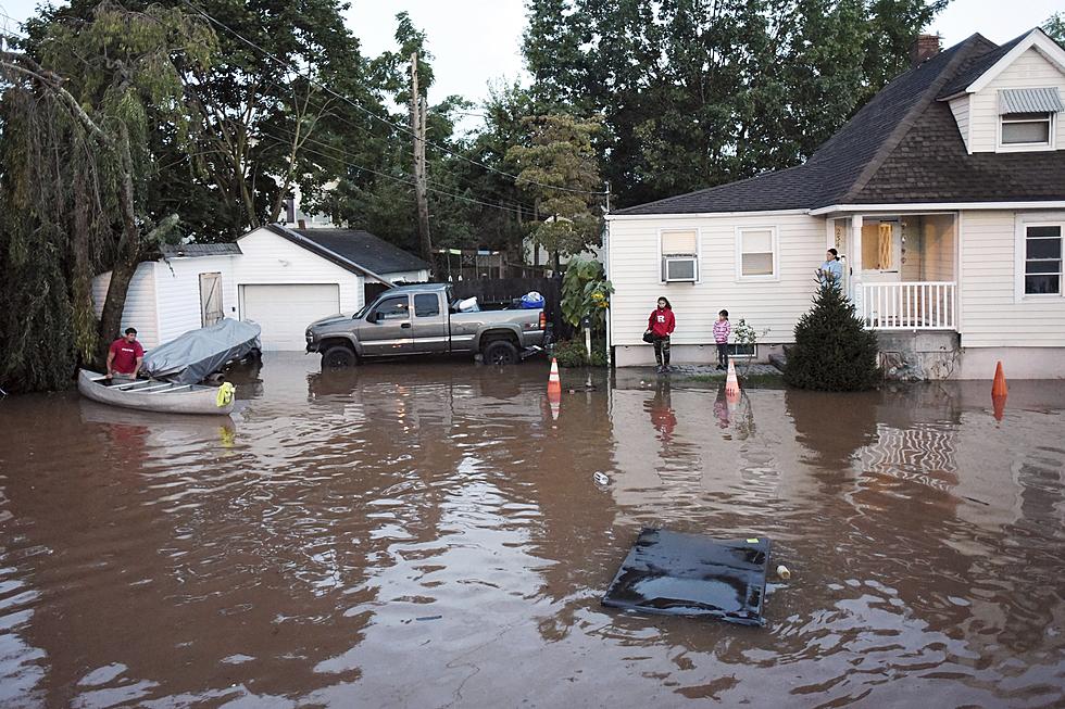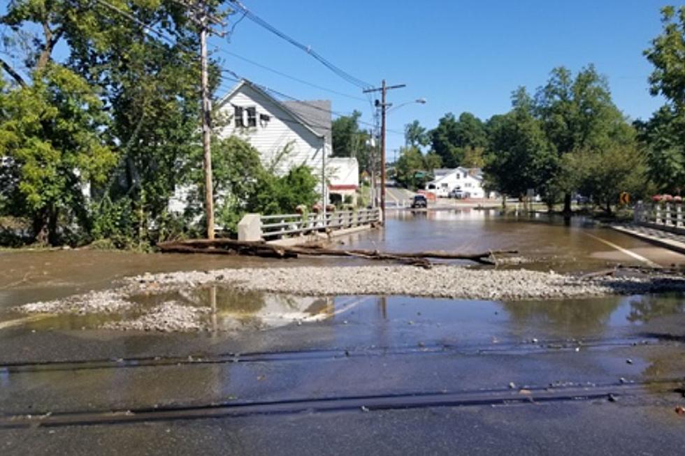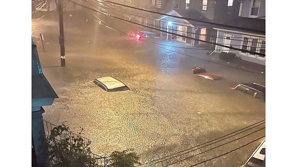
NJ drenched by Ida — was September 2021 one for the record books?
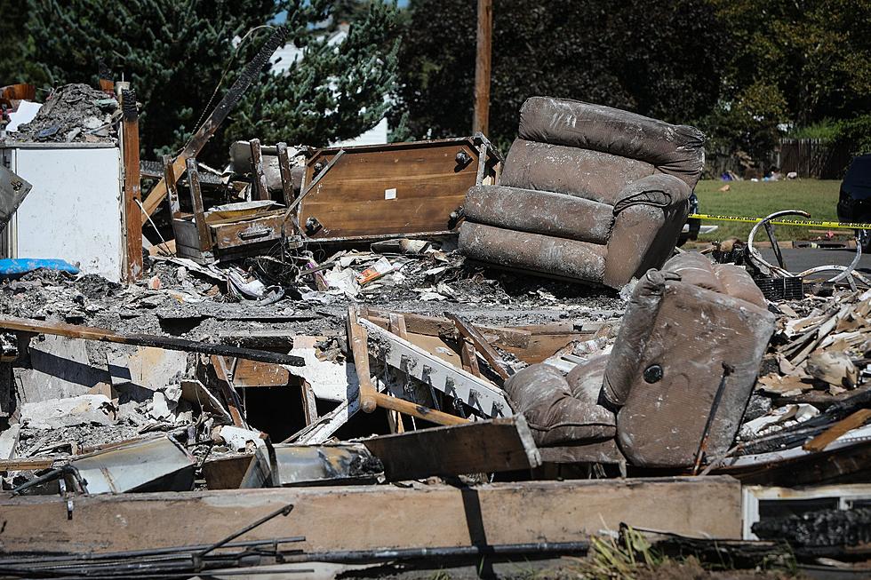
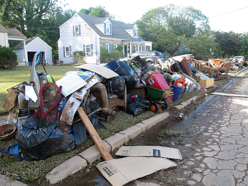
On the first day of September 2021, much of the northern half of the state was flooded with months' worth of rain in a matter of hours.
But preliminary numbers suggest last month overall didn't break any records in the precipitation department for the Garden State.
"South Jersey missed out on the heaviest of rains from Ida," said New Jersey State Climatologist Dave Robinson at Rutgers University. "In the southeast, it was just a modest rain event."
At close to 6.6 inches statewide, September did produce above-average rainfall totals, Robinson noted. But that total would rank this September as the 13th-wettest, according to records going back to 1895.
"Not even in the top 10, despite Ida," Robinson said. "What was really remarkable about Ida was how quickly that rain fell."

Ida wasn't the only drenching rain event for New Jersey during the month. Severe storms and flash flood watches rolled through soon after the 1st, and as recently as a week ago.
Looking at just North Jersey, where a few locations averaged 11 to 12 inches of rain for the month, September may rank among the five wettest on record, Robinson added.
According to preliminary figures, September was quite warm. The month's average of 68.9 degrees is two degrees above the most recent 30-year normal. If the numbers don't change, September 2021 goes down as the 10th-warmest for New Jersey.
The Top 15 Best Movies That Were Filmed At The Jersey Shore
Gallery Credit: Jimmy G
More From 92.7 WOBM