When Will FEMA Release New Flood Maps? [AUDIO]
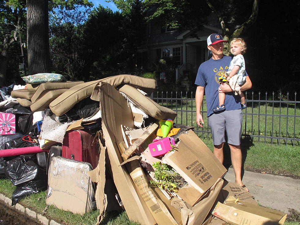
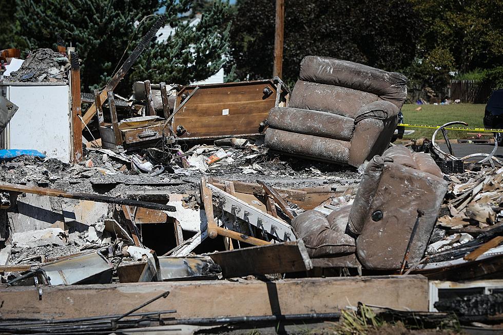
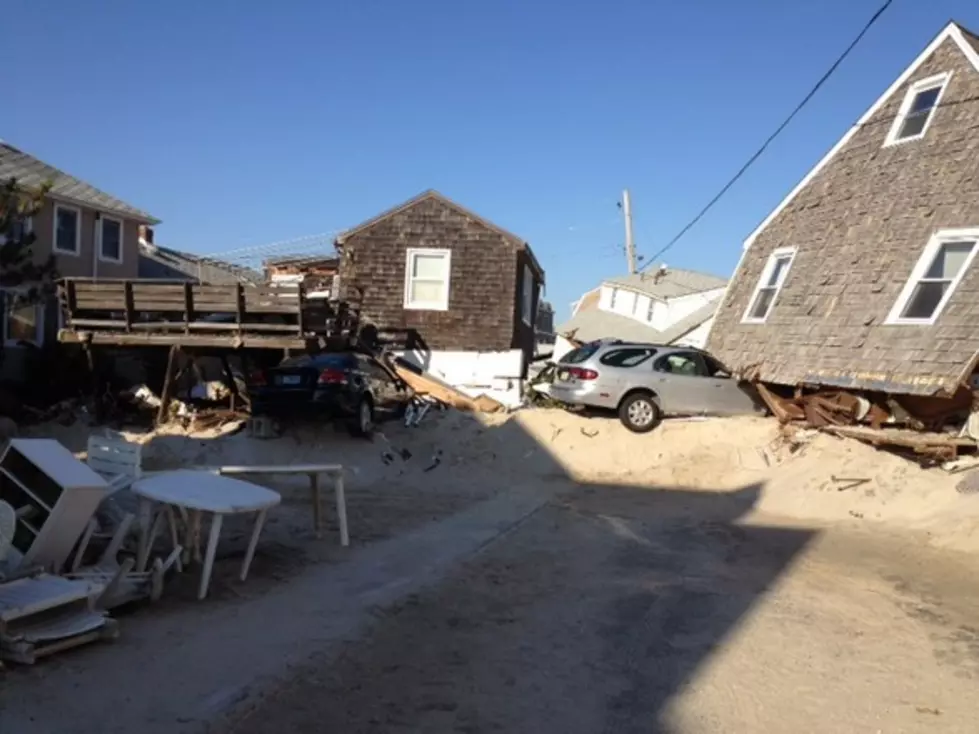
This week marks seven months since Superstorm Sandy, and many victims have been left to wait on Federal Emergency Management Agency (FEMA) flood maps before they decide whether or not to rebuild.
On Townsquare Media's 'Ask the Governor' program, Chris Christie mentioned that the new maps will be coming out within the next few weeks.
We checked with FEMA and yes, they are. However, they're not the finalized ones just yet, but the agency plans to release the next round of working maps that provide a little more detail than the originals.
"We are aware of the issues homeowners have been having and feel for them," FEMA Spokesman Chris McKniff says.
"These new maps take into account a lot of things the first round released last year, do not. They include things to stave off flood waters, more concrete flood zones and other features ironed out with help from the local communities."
At this point, representatives from FEMA have been working closely with officials in municipalities up and down the shore on making the maps easy to follow and transparent.
"These could be a good starting point for people in getting their properties back in order."
"The higher you build, the less risk you take on and the less costly your insurance is going to be," McKniff says. "Anything closer to base flood elevation and below, it's going to be very expensive. It depends on your home, and it depends on the type of coverage you have, but it could range in the tens of thousands of dollars."
In the event your home was in the dreaded V-Zone on the original map, there's a good possibility it was moved into a less risk area on the newer maps. If that happened, it's unlikely that it would jump back to a more critical area.
The finalized flood maps are due out sometime in August.
For more information, visit the FEMA website.
[onescreen item="5077834"]
More From 92.7 WOBM