Thursday will be another lovely summer day for NJ, but it won’t last
Humidity, temperatures, cloud cover, and rain chances will increase in the next day or two.
Here are your weather headlines for Thursday, August 17, 2017...
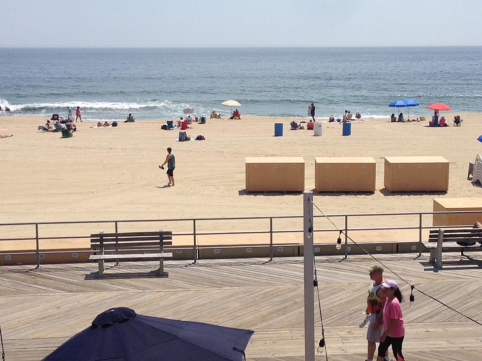
Down the Shore
Even though Hurricane Gert hasn't touched land, the strong category 2 storm has certainly made its presence known. Jersey Shore beach patrols had to enter the water for dozens of rescues on Wednesday, due to rough surf and rip currents. The surf will be significantly calmer on Thursday, with only a Moderate Risk for dangerous rip currents posted. Still, common sense goes a long way.
Thursday: Lovely
Weather-wise, I have another beautiful summer forecast for you for Thursday. Skies will fall somewhere in the mostly to partly sunny range, with high temperatures mostly in the mid 80s. The coast will be a bit cooler, but probably still close to 80 degrees Thursday afternoon.
Thursday Night: Changes
Changes are ahead starting Thursday evening, as a warm front lifts through New Jersey. First and foremost, we'll see a noticeable uptick in humidity. Second, the increasing humidity will prevent temperatures from falling below the lower 70s. Third, clouds will increase quite a bit overnight. And fourth, rain will arrive in the Garden State eventually, especially after Midnight.
Friday: Stormy
That leads us to Friday, which will be far from beautiful. Scattered showers and thunderstorms are expected throughout the day. Some of those storms could be on the strong side. Pockets of heavy rain, gusty winds, and hail are on the table. Meanwhile, Friday is going to be an incredibly humid day, with dew points well into the 70s. (That's quite disgusting.) High temperatures will be highly dependent on the amount of sunshine — I'm thinking occasional bursts of sun will push thermometers into the lower to mid 80s for most of the state.
Weekend: Pretty Good!
Residual showers may last through early Saturday morning, with all models now showing raindrops ending by sunrise Saturday. I'm thrilled to report the rest of the weekend looks good — as long as you like it hot!
Scattered clouds will stick around throughout Saturday. It will be a very warm and very humid day, with high temperatures in the upper 80s to lower 90s. I expect that even the beaches will see widespread 80s on Saturday.
A weak front late Saturday-early Sunday could swing a shower or sprinkle through the state. But those raindrops are so insignificant that I'm not even mentioning it on the air.
Sunday will feature clearer skies, slightly lower humidity, and seasonable temperatures. So I'll call it the more pleasant day of the weekend. Highs are forecast to peak around 85 to 90 degrees.
The Forecast Beyond
The story for next week will be continuing heat, although it doesn't look excessive or extreme at this time. My latest forecast shows part of SW NJ potentially reaching 90+ degrees for at least five days in a row (Saturday to Wednesday).
We'll also be keeping a very close eye on the tropics in the coming days and weeks, as the peak of the Atlantic hurricane season approaches. Behind Gert, there are now 3 tropical waves charging across the Atlantic from Africa. No impending danger for New Jersey at this time.
More From 92.7 WOBM


