
Light snow accumulations possible tonight for part of New Jersey
In fact, the forecast for the next week includes two chances of accumulating snow for the Garden State.
Here are your weather headlines for Thursday, February 4, 2016...
Thursday: Quiet
After Wednesday's soaking rains, dense fog, and flooding threat, it will be nice to catch our breath before any more active weather comes our way. (Yes, there is plenty more active weather on the way over the next week.)
The same cold front that spawned all the rain will push out the remaining sprinkles and dense fog this morning. As the name implies, this cold front will also deliver cooler air. It's not a dramatic, arctic air mass - but we're kissing 60s goodbye for a while. We have likely already hit our high temperature today, in the 50s, as thermometers will fall through the 40s this afternoon. Skies may clear a little bit this afternoon, and winds will stay on the light side (northwesterly at 10 to 15 mph).
Snow Chance #1: Thursday Night to Friday Morning
The same frontal system that caused the wide variety of weather on Wednesday will have one more impact on New Jersey: it will serve as a "highway" for a storm system riding up the Atlantic coast Thursday night into Friday morning. Now, the front will be pretty well off-shore by the time this coastal storm reaches New Jersey's latitude. Therefore, the center of the storm should be pretty well off-shore too. However, even a glancing blow could bring some wintry impacts to New Jersey in time for Friday morning's commute.
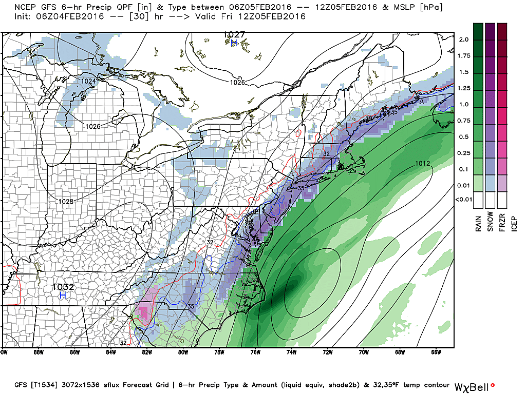
As usual, final snowfall totals will depend heavily on the exact track of this coastal low and exactly how far the precipitation penetrates into inland New Jersey. I am truly dismayed at the disagreement among this morning's models, with only 12 to 24 hours to go before the snow begins. I do thinka clear pattern has emerged over the past day of model runs. Here's the rundown from this morning...
GFS:
--How Much? Maximum 1 to 2 inches (mixing with some rain)
--Where? About 1" of snow accumulation from the Jersey Shore as far inland as the New Jersey Turnpike... Bullseye of 2" from Middletown (Monmouth Co) to the southern tip of Burlington Co
--When? Rain from 7 p.m. Thursday to 1 a.m. Friday, then snow from 1 a.m. to 11 a.m. Friday
NAM:
--How Much? 4 to 8 inches between the Jersey Shore and the Turnpike... Everyone in the state could see at least a dusting
--Where? Highest totals in the eastern half of Monmouth, Ocean, Atlantic, and Cape May counties... Bullseye of about 8" in Atlantic County
--When? Rain from 9 p.m. Thursday to 1 a.m. Friday, changing over to snow along the coast from 1 a.m. to 9 a.m. Friday
Euro:
--How Much? 2 to 4 inches along and east of the Turnpike
--Where? Highest totals in coastal counties: Monmouth, Ocean, Atlantic, Cumberland, Cape May... Bullseye of about 4" from Toms River to Egg Harbor Township
--When? Between Midnight and Noon Friday
Wow, the NAM is clearly throwing out some big snow totals.
But I am throwing the NAM out the window. (A scary thought, since the NAM pretty much nailed the blizzard two weeks ago.)
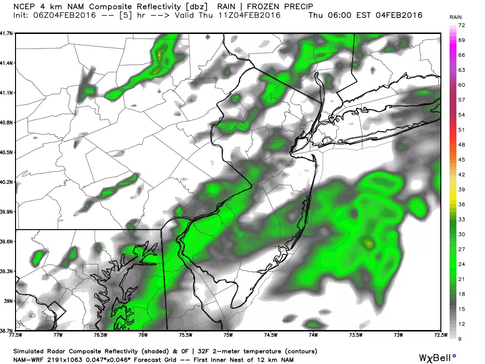
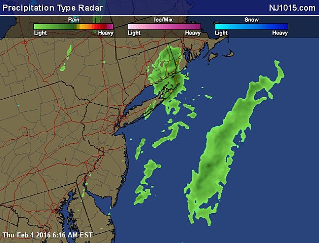
However, the NAM's forecast for this morning shows scattered rain over much of New Jersey... that just doesn't match up with reality! Such feedback is an example of "garbage in, garbage out" - bad model information in the short-term leads to big problems in the longer-range forecast.
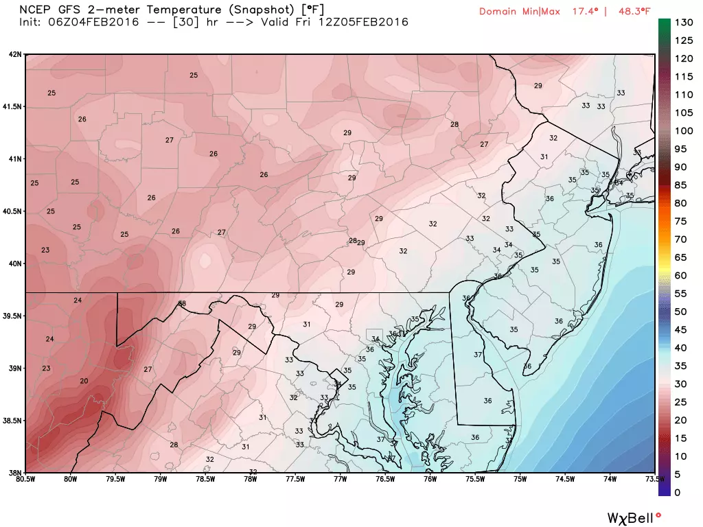
I think the key in this forecast is temperature - all the models agree that Friday morning's low is going to stay above freezing for the entire state. It's hard to sustain an "all snow" or "big snow accumulation" forecast if the air is 40 degrees. Having said that, the prime snow growth zone is way above the surface, so I certainly still expect "some" snow accumulation. I'm just saying all the ingredients are NOT coming together for a big snow here.
I'm going to generally side with a GFS/Euro blend on this forecast, just to be on the safe side. A coating of snow accumulation is possible across New Jersey tonight. Up to about 2 inches will be possible from the Turnpike to the Jersey Shore. Local amounts of 4" possible near the coast. If the above-freezing temperatures force way more rain or mix than snow, then the GFS's lower totals will probably win.
In case you're wondering, I generally don't create one of those colorful snowfall accumulation forecast maps unless it's a big storm. (My guideline is the forecast must call for a large swath of 4+ inches in New Jersey.) This is conversational snow... Maybe enough to warrant delayed openings or even a few closings on Friday... Not a big winter storm by any definition... No need for bread and milk!
Snow Chance #2: Monday Night to Tuesday
We are still 5 days away from our next winter storm system, and the models haven't even converged on a snow vs. no snow solution yet. But the chance is there. So I'm going to talk about what little we know at this point. But as usual, I'll stress this is a very early forecast: don't raid the grocery stores just yet.
The next coastal storm will completely miss New Jersey Monday morning. But in its wake, it's looks like we'll be under a complicated setup with one low digging through the mid-Atlantic states and another low over the Great Lakes. The primary impacts would be from the Monday afternoon to Tuesday morning time frame.
At the same time, there have been model runs as recent as yesterday afternoon that indicate a "miss" for New Jersey. And, as the GFS image above suggests, there is the possibility of seeing some raindrops mix in admist the snowflakes, making for a tricky accumulation forecast. Still a ton of question marks.
And so, it is too early to nail down the exact timing and magnitude of this storm. At this point, it is a storm worth watching and nothing more. Keep a close eye on the forecast through this weekend - that's when we'll pull the trigger on potential snow accumulations if the snowstorm ingredients start to come together.
Dan Zarrow is the Chief Meteorologist for Townsquare Media New Jersey. Follow him on Facebook or Twitter for the latest forecast and realtime weather updates.
More From 92.7 WOBM


