Friday’s snow slow to start
TRENTON — New Jersey's late winter storm was slow to get started on Friday with minimal impact on the early commute.
"The snow is behind schedule but it's still coming," New Jersey 101.5 Chief Meteorologist Dan Zarrow said. "The heaviest snow will occur between about 6am and noon. Again, I've said it all week - it's not (necessarily) about the accumulations, the issue will be poor travel conditions."
Many North Jersey school districts made the decision to delay the start of classes even before a single flake to allow students and staff extra time to get to class once the conditions deteriorate.
Temperatures that reached the 60s in many areas on Thursday will keep snow off many paved surfaces at the start of the storm.
"Temperatures will be above-freezing throughout this morning, road salt and brine will also be very effective in keeping roads clear," Zarrow said.
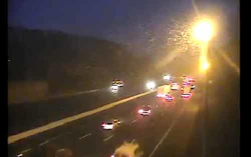
The highways will not be completely immune from snow cover, however. "With the big temperature drop throughout the storm it could make for quick buildups of slick spots especially on overpasses and bridge surfaces which tend to ice up first," New Jersey Fast Traffic's Bob Williams said.
NJ Transit is cross honoring system wide and with private bus carriers on Friday to give commuters more options on Friday morning.
Power outages are minimal on Friday morning as are delays on flights in-and-out of Newark Liberty, JFK and LaGuardia Airports.
Contact reporter Dan Alexander at Dan.Alexander@townsquaremedia.com.
More from WOBM
More From 92.7 WOBM


